Now
See what's happening.
Every live feed on one map of your territory, each with its source and age.
- Live layers · with their age
- Your zones and assets
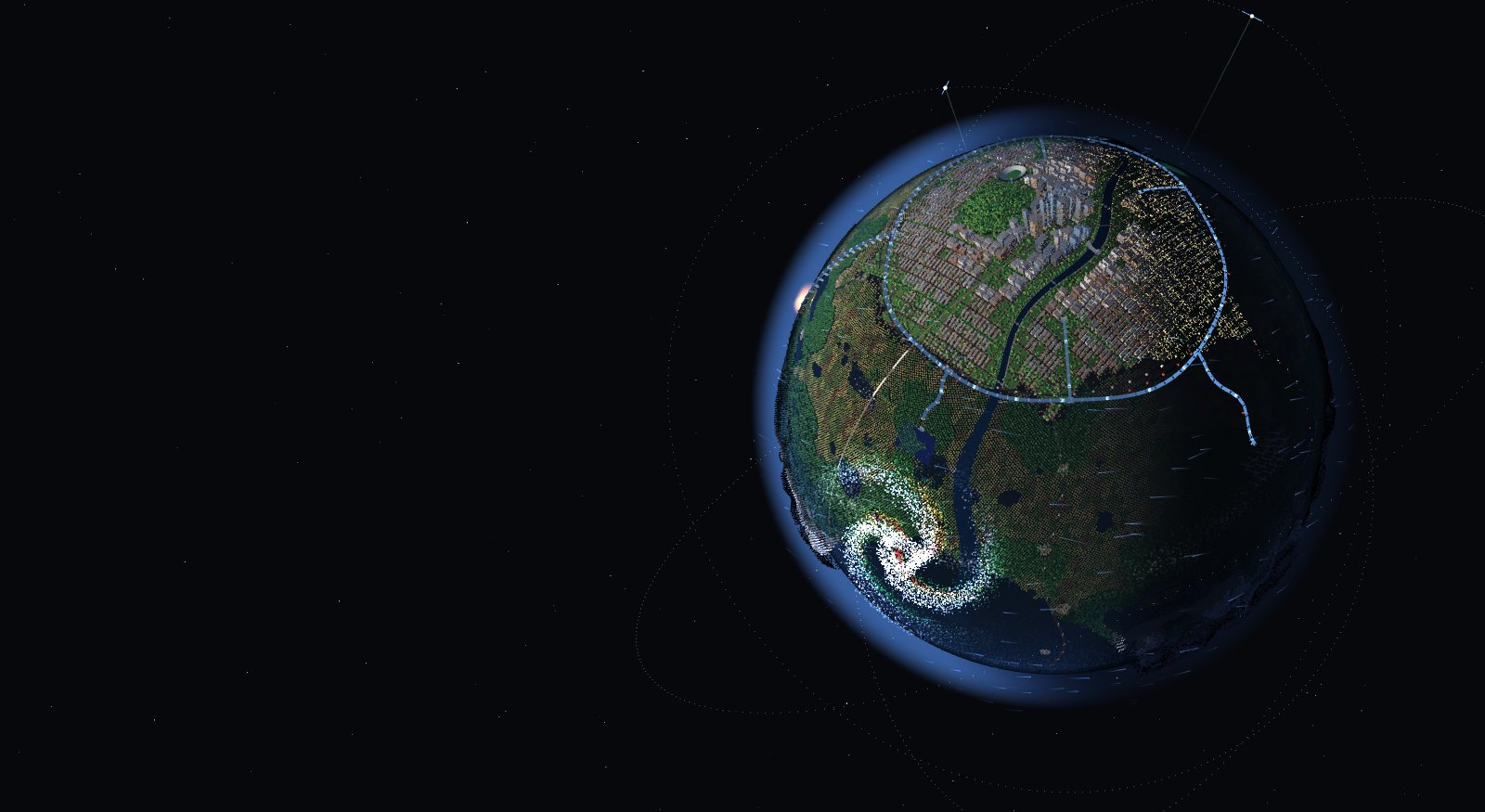
Live digital twin
One 3D view of everything you operate: what is happening, what is at risk next, and what to do about it.
Illustrative twin · a city, its grid, its forests and the weather
Sample scene. Your twin is built from your territory's data.
Storms, fires and failures don't wait for the next inspection. Sat Lab watches your territory every day, from orbit down to every asset.
How it works
Every day, the twin updates itself and tells your teams what needs attention.
Always current: every new image, forecast and feed lands in the twin as soon as it is published.
One 3D twin of your territory and your assets, every element with its source.
Forecasts and what-if scenarios show what will be hit, where and when.
Alerts, briefings and work orders reach your teams before the impact.
Sat Lab screens with sample data. Click a screen to enlarge it.
Now
Every live feed on one map of your territory, each with its source and age.
Next
48-hour forecasts and scenarios show which assets will be hit first.
Why
Every number shows its source, date and confidence, and is labelled measured, modelled or simulated.
Emergency section · outages, radar, fires and alerts across Québec
Illustrative interface with sample data.
Use cases
See which lines the next storm, fire or falling tree will hit first.
Heat, storms and canopy, block by block, with a plan before each season.
One shared picture for every agency: what is burning, where it is heading and who is in the way.
Watch every kilometre of track for moving slopes, washouts, vegetation and heat.
Remote sites, ice roads and permafrost, watched from orbit and hosted in Canada.
Sat Lab screens with sample data. Fire spread, Rail and North are previews.
It uses the platform for you: it reads the live layers, runs the forecasts, ranks what is at risk and drafts the response. Every answer cites its sources. Nothing changes without your approval.
What will Thursday's ice storm hit first?
Line L-7012 first: 9 spans cross the threshold with 20 mm of freezing rain and 90 km/h gusts, and substation EST-3 is already at 82% load. Patrol these 4 spans first.
Create a patrol work order for the 4 priority spans?
French first, English always.
Each layer names its data, its date and its licence.
Client pilots are hosted in Canada.
No face recognition, no person tracking, no plate reading.
Send us a corridor, a district or a site. We'll show you its twin.